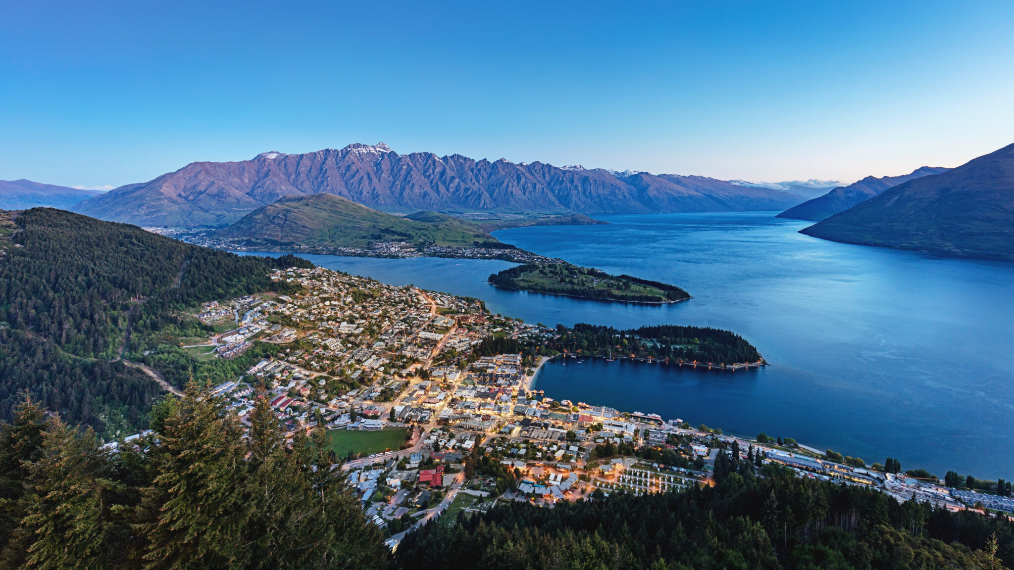
The Greater Christchurch Partnership (Partnership) released the Greater Christchurch Spatial Plan on 19 June 2023, which sets out the long-term development objectives of the greater Christchurch region. The Spatial Plan provides the blueprint for how population and business growth will be accommodated in Greater Christchurch into the future. It includes targeted intensification in urban centres and along public transport corridors to better support population growth (up to 700,000 by 2050).
This article summarises the key objectives of the Spatial Plan as notified, however the provisions and planning maps are subject to change through the submission and the hearing process. To be involved, submissions must be lodged by 23 July 2023.
The Spatial Plan will guide coordinated land use planning, infrastructure and financial commitments associated with managing urban growth in the Greater Christchurch district. It will not have legal status in its own right until its incorporation into District and/or Regional plan(s) (e.g. through policies, rules or specific zoning).
The Spatial Plan satisfies the requirements of a Future Development Strategy as directed by the National Policy Statement on Urban Development 2020. Experience dictates that to be identified as a future area for urban growth it is critically important to be involved in the early-stage strategic planning processes.
Who is the Partnership?
The Partnership is a coalition of local government, mana whenua and government agencies working to address strategic challenges and opportunities for the Greater Christchurch district. It is responsible for preparing and collaboratively implementing earlier development strategies including the Land Use Recovery Plan released to respond to the Christchurch earthquakes, and Our Space 2018 – 2048: Greater Christchurch Settlement Pattern Update.
Priority Areas
The plan focuses urban intensification in the Priority Areas, which will be supported by a mass rapid transit system to connect these areas together. The Priority Areas are areas currently classified as significant urban areas or major town centres. The intent of the plan is to concentrate development growth “up” rather than “out,” to ensure highly productive land and areas of cultural significance are safeguarded from urban development. The Priority Areas are identified here.
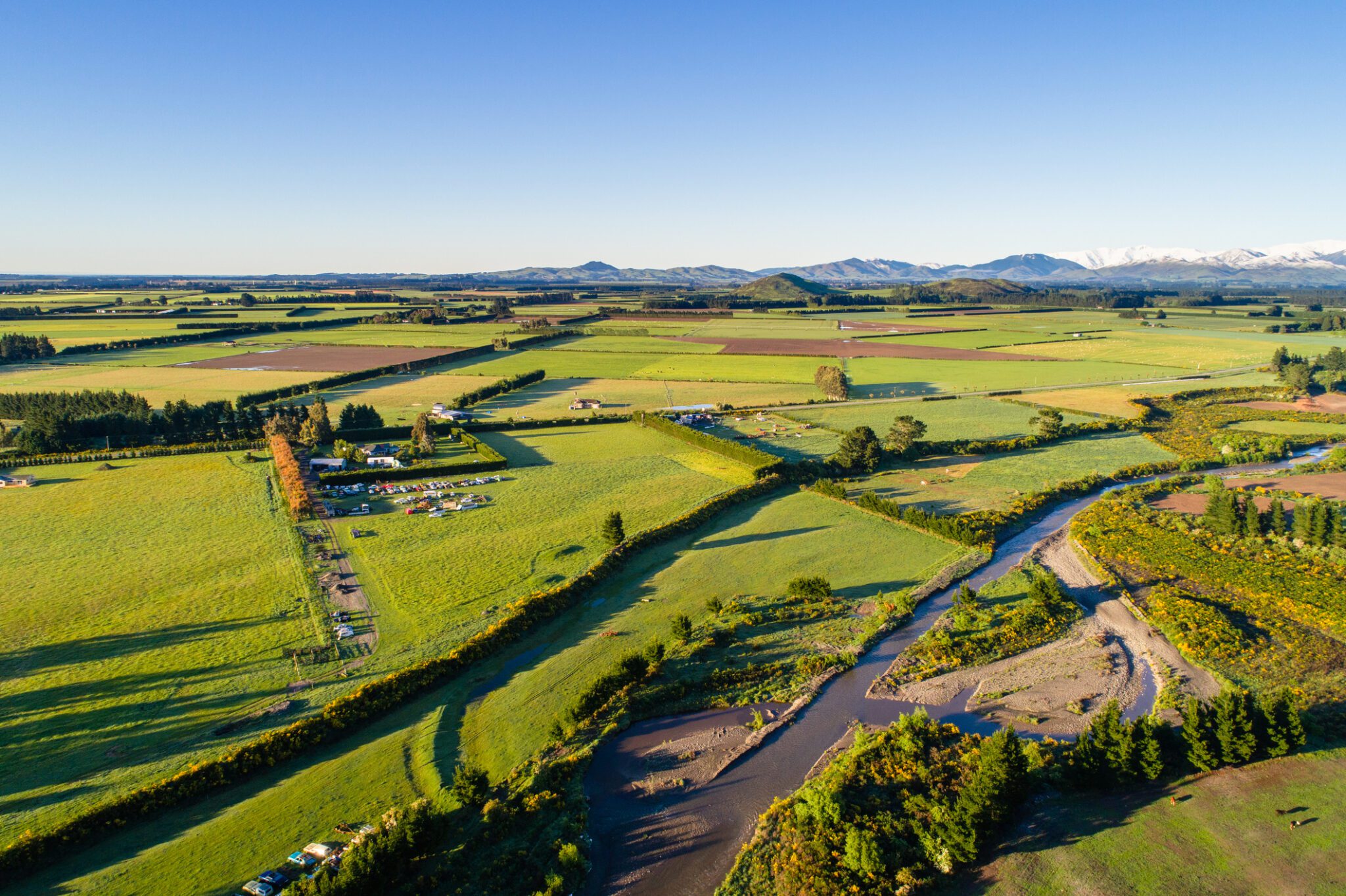
Priority development areas are identified as locations that provide the opportunity for accelerated development that support the desired pattern of growth. The Eastern suburbs have been deliberately classified as a Priority Area rather than a Priority Development Area, as it is more susceptible to the impacts of climate change and a partnership approach is required to better support the area.
The proposed development opportunities for each area are:
Central City: incentivising and enabling commercial development, redevelopment for high residential densities (ranging from 100 – 200 households per hectare), including multi-storey townhouses, apartments, and mixed-use developments, and transitioning the south and south-east general business and industrial areas to higher density residential and mixed-use development.
Riccarton: opportunity for commercial development and business investment, as well as incentivising multi-storey townhouses and apartment, achieving average density yields ranging between 70 – 150 households per hectare.
Papanui: opportunity to build on existing retail and service centre for north Christchurch to provide higher density residential (70 to 100 households per hectare), significant brownfield redevelopment opportunities.
Hornby: opportunity to transform Hornby into the second sub-regional service after the Central City, opportunity for regeneration and significant brownfield redevelopment to enhance urban form, support community integration, and provide a stronger and more integrated centre core.There is also a focus to transition surrounding areas from industrial to high density residential (50 to 100 households per hectare).
Rangiora: opportunity to intensify (residential and commercial) around Rangiora’s town centre, while retaining the town’s character.
Rolleston: opportunity to build Rolleston’s commercial centre, with higher density residential proportionate with its population.
Māori reserves: opportunity to develop kāinga nohoanga on Māori reserves and in urban centres to include short- and long-term residential housing, as well as cultural and recreational facilities.
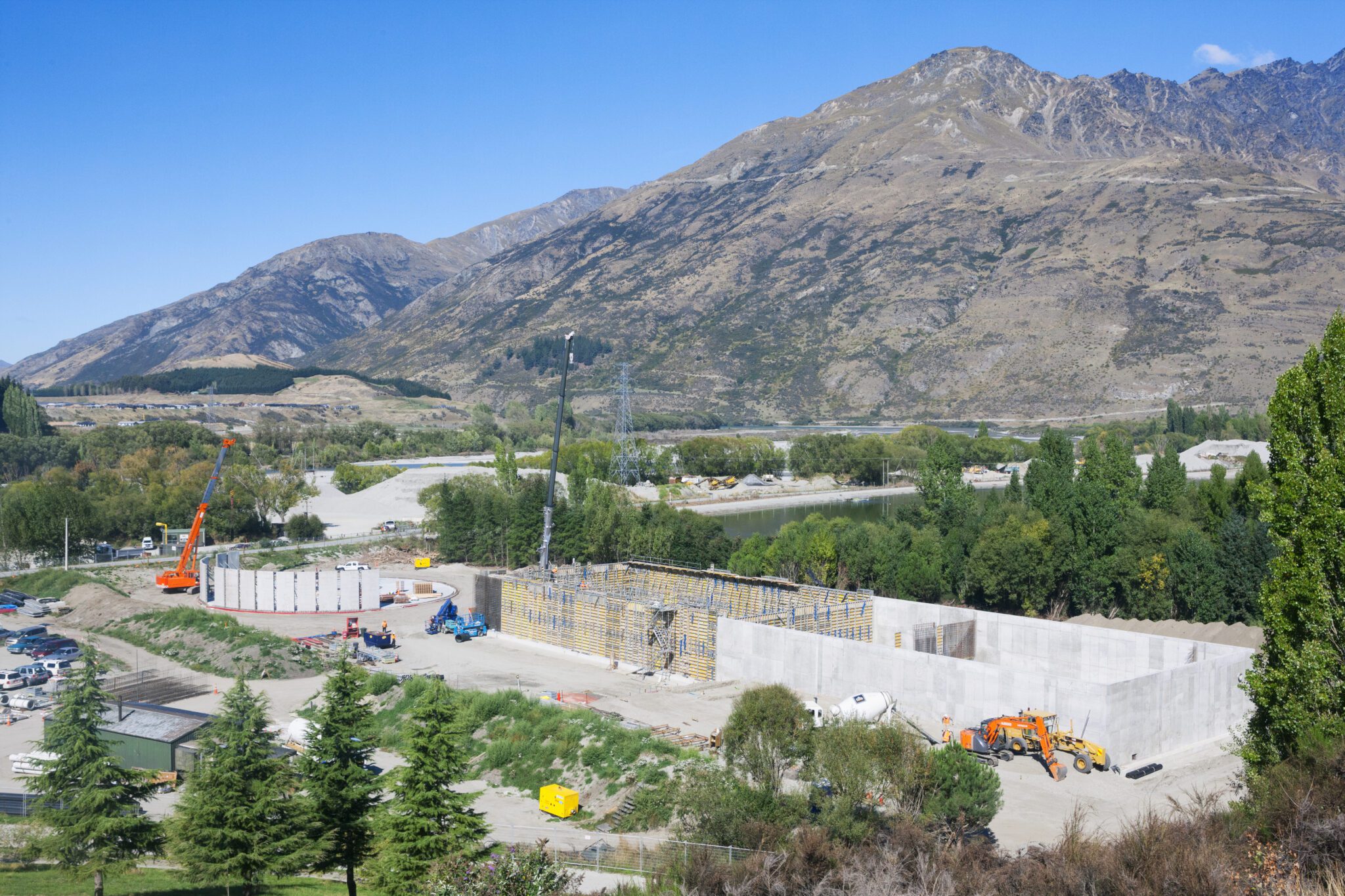
Commercial Development
It is projected that Christchurch will not have enough supply of commercial land to meet demand over the next 30 years. However, there is a projected surplus of industrial land. Shortfalls in commercial land are expected to be met through intensification in significant urban centres, major towns, and locally important urban centres and towns, as well as through rezoning of industrial land close to Christchurch’s Central City to commercial and mixed-use. A focus for providing for commercial land will be those centres identified in Map 14, including the Priority Areas.
Next Steps
Submissions on the draft plan are open now to 23 July 2023. Submissions will be collated and reported to the Hearings Panel by September, with hearings and deliberations to take place in October and November. By early 2024, the Partnership will consider whether to adopt the Greater Christchurch Spatial Plan.
The Plan is in digital format, and can be found here. Map 14 can be found on page 79 (or click here to view) and Map 5 can be found on page 52 (or click here to view).
If you have any questions about the new draft plan, or wish to make a submission please contact our Resource Management team.
Disclaimer: The content of this article is general in nature and not intended as a substitute for specific professional advice on any matter and should not be relied upon for that purpose.